Overview
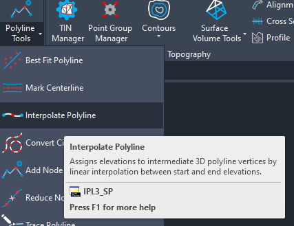
The Interpolate 3D Polyline tool enables users to assign elevations (Z-values) to all intermediate vertices of a 3D polyline using linear interpolation. This is based on the known elevation of the first and last vertices of the 3D polyline.
This is especially useful in workflows where the path of the polyline is correct, but intermediate vertex elevations are either missing, zero, or inconsistent—common in survey processing, grading plans, and infrastructure layout.
Utility and Use Cases
- Survey Processing: Add realistic slope to sketch lines drawn from plan view.
- Design Grading: Assign interpolated elevations to paths such as roads, trenches, or channels.
- Civil Alignment Setup: Prepare polyline profiles for use in TIN generation or corridor modeling.
- Elevation Fixes: Rectify polylines with broken or partial Z-values.
Workflow
- Launch the Tool
Run the command: IPL3_SP
- Select a 3D Polyline
Click the polyline for which you want to interpolate elevations.
- Interpolation Execution
The tool reads the Z-value of the first and last vertex, calculates the elevation difference, and assigns evenly spaced Z-values to all intermediate vertices based on their relative distance along the polyline.
Tips
- Only works on 3D polylines. Use CONVERT or PEDIT to prepare geometry.
- Start and end vertices must have valid elevation values.
- Use this tool before generating TIN surfaces, longitudinal profiles, or volume calculations.